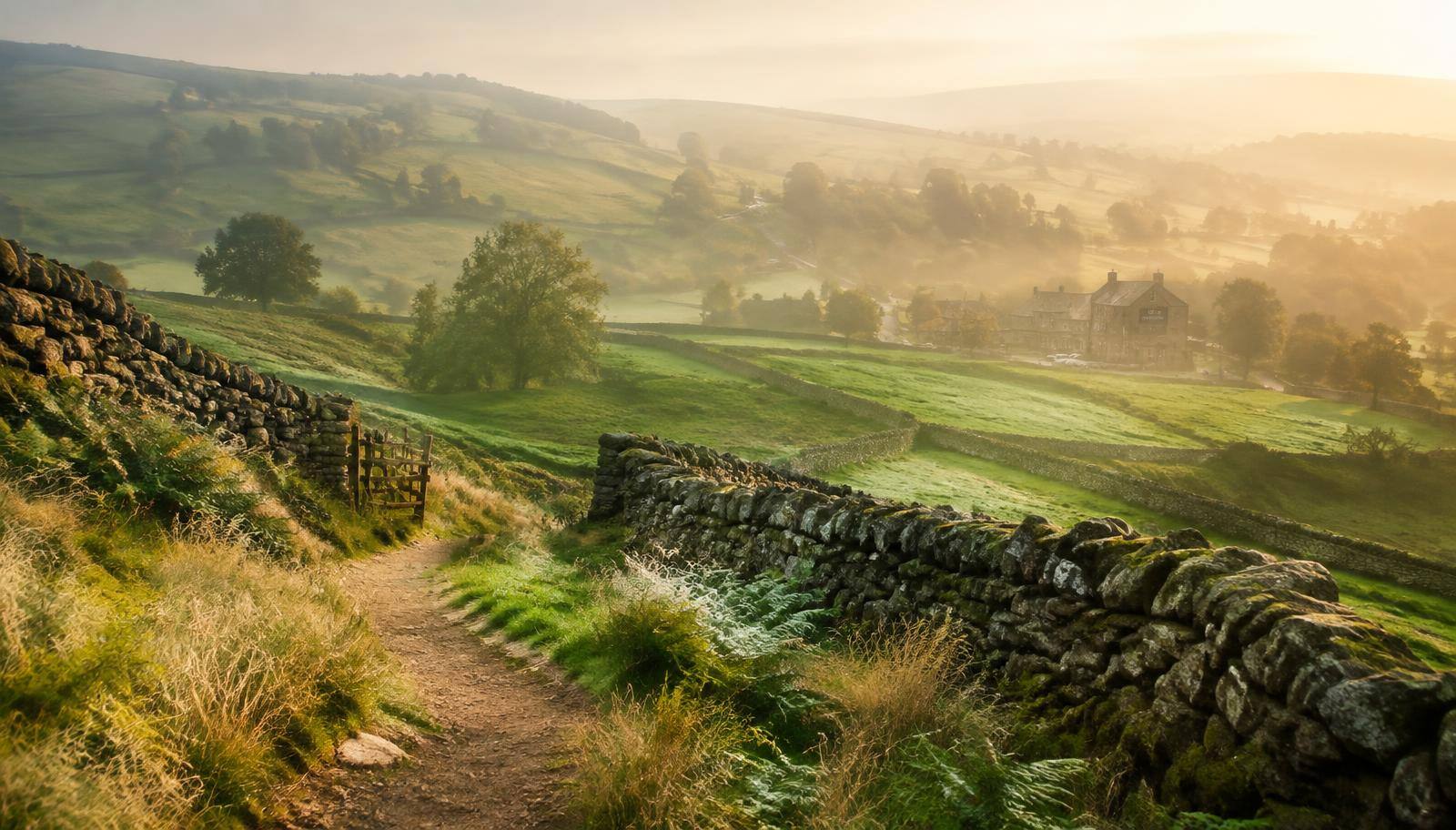
Countryside footpath between drystone walls leading to a farm in morning mist

Your next walk

Your walk,
built for you.

Tell us how you like to walk. We'll plan the route, the views and the pub — anywhere in Britain.

A daytime walk from village to village by footpath, stopping at two or three real country pubs, with roughly 30–90 minutes of walking between them. Opening times can change — check before you go, and never drink and drive.

Built for Great Britain, with OS Leisure mapping. Places outside GB are in beta: we can't verify access there, so always check local rights of way.

We'll check it's reachable in your walking time before planning.

Sign in to get 3 free walk searches.

How it works

1. Tell us your walk

Pick an area — built for Great Britain, with other countries in beta — plus how long you want to walk, your ability, terrain and the landmarks you love: castles, rivers, viewpoints, woodland and more.

2. Get four personalised walks

We plan four routes on public paths only, with road walking kept to a minimum. Each comes with a hand-sketched style map, real photos, distance, ascent and step-by-step directions.

3. Follow it on the day

Save your walk, follow the OS trail map with live GPS, and share it with friends. Drive there, take the train, or start straight from your doorstep.

Sample walk

An example walk

One full walk, in the format the planner uses. Photos appear when we can find real, credited pictures of the places on your route.

3 hoursModerateOff roadPub lunchDrive thereViewpointsRivers

Peak District

Dovedale stepping stones & Thorpe Cloud

8 km · 3 hrs · 250 m ascent

A classic Peak District half-day: follow the River Dove through a steep limestone gorge, cross the stepping stones, wander up past the Tissington Spires, then finish with a short, steep climb to the top of Thorpe Cloud for one of the best views in the White Peak.

1. Dovedale car park2. Dovedale stepping stones3. Tissington Spires4. Thorpe Cloud1234N
  1. 1. Dovedale car park
  2. 2. Dovedale stepping stones
  3. 3. Tissington Spires
  4. 4. Thorpe Cloud

Looking through the photo album…

🚗 Where to start

Dovedale car park (pay & display), off Ilam Road, near Thorpe, Derbyshire

Drive to the National Trust's Dovedale car park. It fills early on sunny weekends, so arrive before 10am. Toilets on site.

🍺 Pub lunch

Izaak Walton Hotel, Ilam — a short detour across the fields at the end, with garden seating and lunch served daily.

Step-by-step route

  1. From the car park, follow the lane upstream along the River Dove to the footbridge.
  2. Stay on the Staffordshire bank and cross the river at the Dovedale stepping stones (use the footbridge if the river is high).
  3. Continue up the dale on the made path past Lovers' Leap and the limestone pinnacles of Tissington Spires.
  4. Retrace your steps to the stepping stones, then take the clear path climbing the shoulder of Thorpe Cloud.
  5. Enjoy the summit view down the dale, then descend carefully on the grassy south side back to the car park.

🥾 All on public footpaths and open access land. The Thorpe Cloud climb is short but steep and slippery when wet — skip it for a flat riverside walk. Dogs on leads near livestock.

When you pick a walk you also get OS Leisure mapping with live GPS, save it to a trip, and share it with friends.

Try it free — your first 3 searches are on us

Walks like these

A taste of what the planner comes up with — every walk is generated fresh around your preferences.

Lake District

Tarn Hows woodland loop

3 km · 1 hr · 50 m ascent

1. Tarn Hows car park2. Tarn Hows3. Woodland path4. Langdale view point1234N
  1. 1. Tarn Hows car park
  2. 2. Tarn Hows
  3. 3. Woodland path
  4. 4. Langdale view point

Looking through the photo album…

An easy, buggy-friendly circuit around a tree-fringed tarn with views to the Langdale Pikes — perfect with kids.

Lake District

Derwentwater lakeshore amble

6 km · 2 hrs · 60 m ascent

1. Keswick2. Friar's Crag3. Derwentwater shore4. Lakeside tea room1234N
  1. 1. Keswick
  2. 2. Friar's Crag
  3. 3. Derwentwater shore
  4. 4. Lakeside tea room

Looking through the photo album…

Flat, child-friendly and dog friendly — waymarked lakeshore paths with jetties, views and a tea room halfway.

Cotswolds

Bibury & Ablington meadows loop

5 km · 1.5 hrs · 60 m ascent

1. Bibury2. Arlington Row3. River Coln meadows4. Ablington1234N
  1. 1. Bibury
  2. 2. Arlington Row
  3. 3. River Coln meadows
  4. 4. Ablington

Looking through the photo album…

Honey-stone cottages at Arlington Row, then field paths along the River Coln to the hamlet of Ablington and back.

Explore by area: Peak District · Lake District · Cotswolds

Browse walks reviewed by other walkers →

Simple pricing

Your first 3 searches are free when you sign up. After that, pick a plan.

Standard

Includes 25 walk searches each calendar month — plenty for most walkers.

  • £7 / month
  • £49 / yearSave 42% — £49 instead of £84

Sketch maps, OS Leisure mapping in Great Britain, GPS tracking, trips and sharing. Cancel any time — access runs to the end of what you paid for.

Pro

Up to 100 searches a month (fair use), for guides, walking groups and keen planners.

  • £99 / yearAnnual only — for heavy users and walking groups

Sketch maps, OS Leisure mapping in Great Britain, GPS tracking, trips and sharing. Cancel any time — access runs to the end of what you paid for.

Full pricing details →